It would be difficult to overstate the genius of the Chubby Chernobyl. The Chubby is to summertime fly fishing what a couple slices of hickory smoked, perfectly pan-fried bacon is to a cheeseburger—it's impossible to fully enjoy the latter without the former. After a never-ending winter and spring of slinging microscopic nymphs to shivering trout pouting on the river bottom, it's good for the soul to witness excited salmonids strap on a feed bag and chew on a t-bone. Everything about a Chubby eat is better.
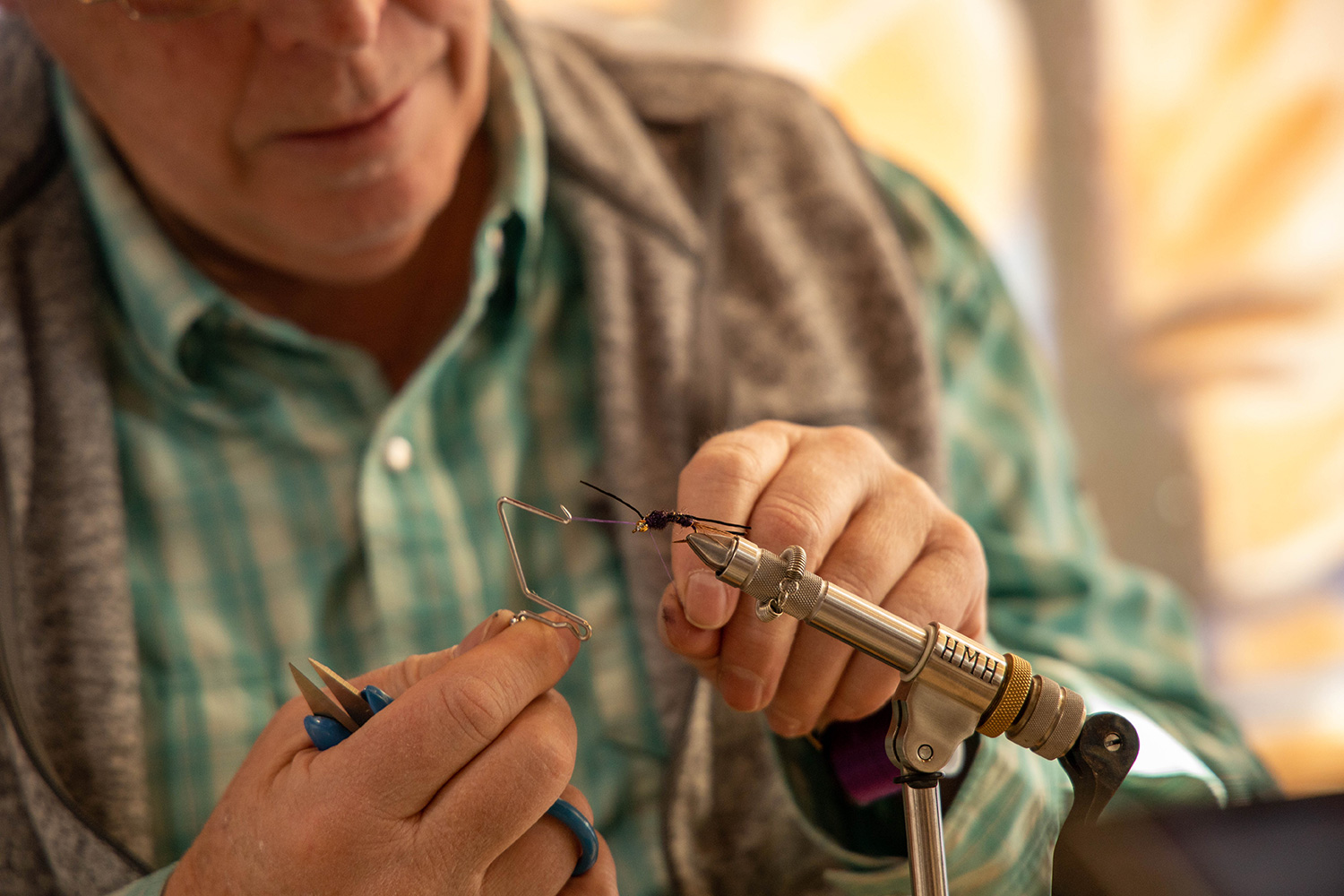
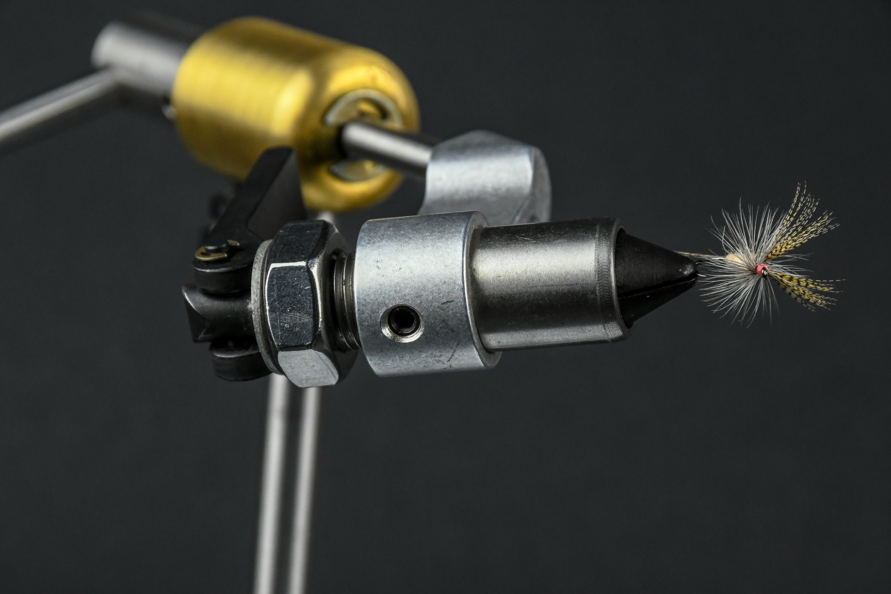
The Chubby Chernobyl is a quintessentially Western fly pattern, the Mensa-worthy creation of an unknown mad fly tying scientist—the Elon Musk of fly tying—at Idylwilde Flies in Portland, Oregon. The Chubby is a 2003 upgrade of the Chernobyl Ant, itself a high achieving chunk of pretend protein, having won the prestigious Jackson Hole One Fly event in 1995. The original Chernobyl Ant is of Western origin as well, birthed on Utah's Green River by a pair of dirtbag fly fishing guides. The Chubby Chernobyl's bold improvements include a pair of buoyant white poly yarn wings, synthetic dubbing (in addition to foam) for a body, and an alluring Krystal Flash tail. Splayed rubber legs complete the buggy vibe and garner catcalls from grabby gator browns. The Chubby floats like a cork wearing water wings and can easily mule a heavily weighted nymph (or three!) to a trout's kitchen table. At $2.50 a pop it's like employing a Sherpa at a steep discount.
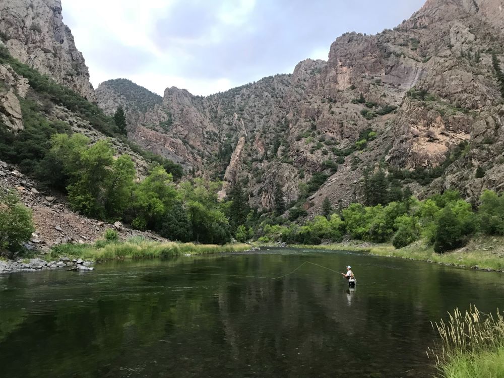
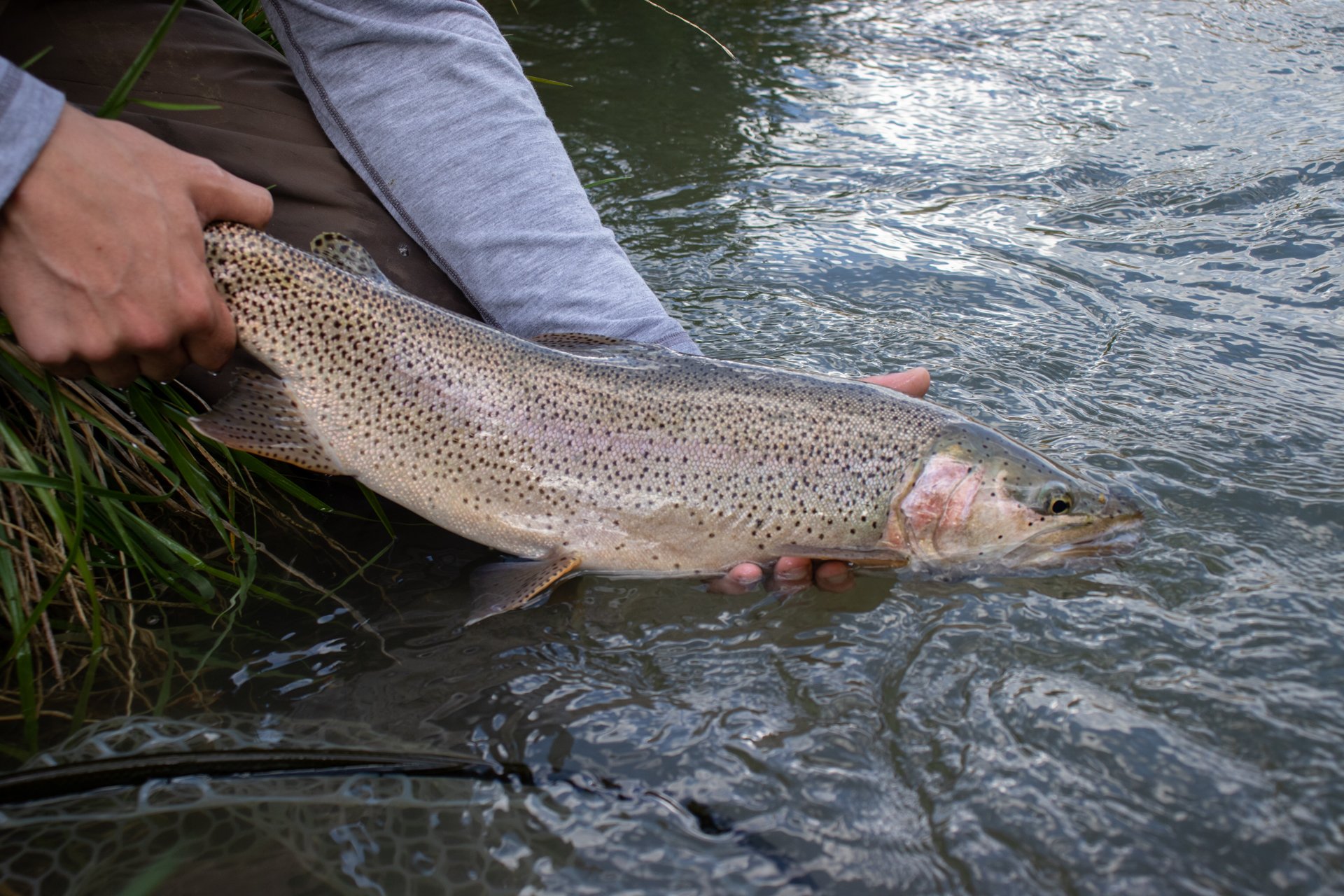
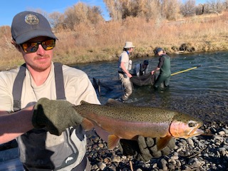
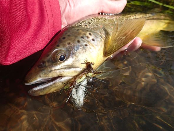
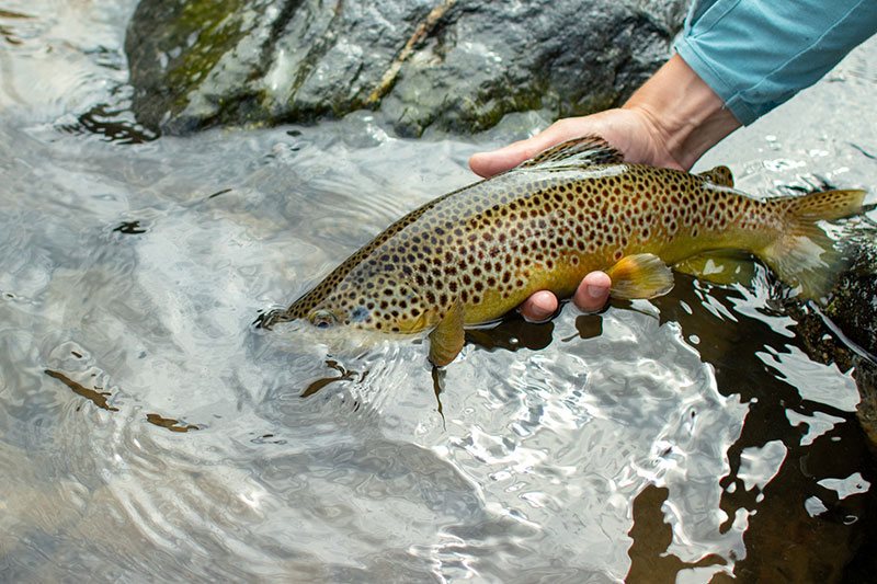
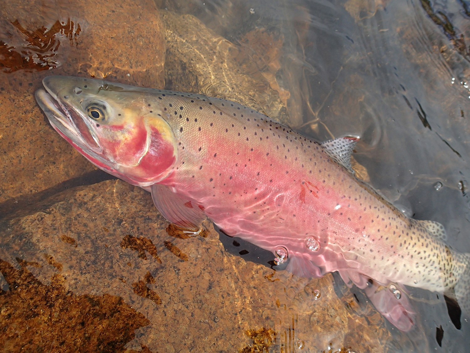
Depending on size and color, a Chubby Chernobyl can convincingly parrot a golden stonefly, skwala, salmonfly, grasshopper and other assorted terrestrials, while also moonlighting as a legit attractor pattern. Chubbies are most frequently unleashed on big, brawling rivers because of the mostly true notion that big flies attract big fish. But surprisingly, even a King Kong-sized, gaudy, vague-representation-of-nothing Chubby Chernobyl typically fails to scare the bejesus out of small or medium trout, thus making it tempting trout candy for both scrawny and plus-sized trout streams alike. Chubbies fool fish all summer long on area waters such as Cebolla Creek, the Lake Fork of the Gunnison River, the Uncompahgre River, and anywhere along the entire Gunnison River. Historically, the two best producing Chubby Chernobyl varieties for our area are the golden-hued and Royal Chubbies. A purple Chubby Chernobyl can surprise you with its inexplicable effectiveness as well. A famished brown trout can no more resist sinking its chops into a juicy Chubby than a great white can resist a deliciously marbled, blubbery sea lion. A rowdy and ravenous hawg brown trout hell-bent on mugging and wolfing down a Chubby and a blood-shot-eyed, slobbering, tongue-hanging-out, girl crazy whitetail buck are the same species of stupid. The Chubby Chernobyl earns my vote for Canton or Cooperstown—or even the Heisman Trophy of flies, if such an award exists—because it's the G.O.A.T. The Pantheon of Greats: Michael Jordan; Tom Brady; Joe DiMaggio; Chubby Chernobyl.
Through the years I've learned a few keen ideas that make my List of Top 5 Tips to Execute a Flawless Chubby Game: 1. Tie Chubbies with grey wings—or color white wings with a grey Sharpie—in order to trigger eats from lock-jowled trout nonplussed with the standard tie. 2. Downsize to a Mini (or Micro) Chubby Chernobyl in the late summer when tight-lipped trout clam-up due to fly fatigue; fussy trout getting wise to a criminally overused bug is a real thing. 3. When wings invariably become matted and nappy due to fish slime and floatant, rejuvenate floatability to pre-iceberg Titanic status by fluffing the wings with a small metal dog comb. 4. Utilize a short, slightly oversized leader in order to more easily and accurately unfurl your non-aerodynamic Chubby set-up. A 6-8' leader tapered to 3X—on the shorter side if your Chubby is toting nymphs—is prime for most situations. 5. Affix your Chubby Chernobyl to your tippet with a loop knot to increase its realistic bug-like juju.
Outside of illegal explosives, gillnets, rotenone, electrofishing, or any other form of forbidden trout tyranny, a Chubby Chernobyl may be your best hope for counting coup on the Western Slope's biggest summertime trout. In addition to their proven animal magnetism, duping a trout on top with a Chubby is simply a riotously fun way to capture fish. While all surface eats are enjoyable, Chubby eats are next-level. If you are jonesing for some big fish summertime surface action, tie on a Chubby Chernobyl and hang on. You just might find yourself at a rodeo.
.jpg)
.jpg)